
Okinawa Prefecture comprises 160 islands, and a prefectural overview counted 47 inhabited islands as of 2018. [S1] Those numbers describe the prefecture, not 160 interchangeable holiday products. The useful question is which island group fits your interests, available time, transport tolerance, and the season.
“Remote island” can also mean different things in different documents. Okinawa's tourism crisis plan describes 148 remote islands after excluding 11 islands connected by bridges, while a separate legal and policy definition identifies designated remote islands. [S2][S3] Use the 160-island figure as geographical context, not as a promise that every island is accessible or open to visitors.
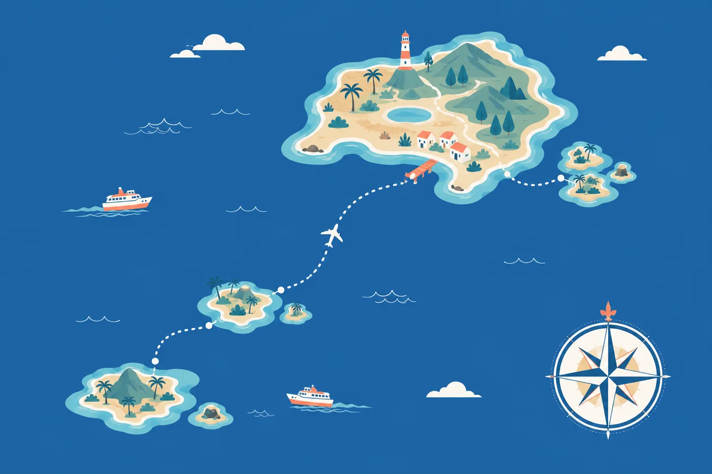
Which island cluster fits your trip?
The clusters below are a travel-planning tool, not an official ranking.
1. Okinawa Main Island: a practical first base
Choose the main island when you want to combine Naha, heritage sites, food, museums, beaches, and northern nature without adding an inter-island flight. The official destination guide presents the main island as a base for urban, heritage, coastal, and national-park experiences. [S4]
2. Kerama Islands: reef learning and a short island extension
Consider the Kerama group when the purpose is a guided coral experience, national-park learning, or winter whale watching. The Ministry of the Environment documents 248 coral species in Keramashoto National Park and publishes visitor rules for protecting the area. [S5][S6] Ferry access still depends on sea and weather conditions; confirm the operating status and a return plan.
3. Kume Island: coast, wetlands, and island heritage
Kume Island combines beaches, a mountainous interior, protected wetlands, and castle remains according to the official Okinawa destination guide. It is reached from Naha by air or sea, so compare schedule resilience rather than choosing on travel time alone. [S4][S7]
4. Miyako Islands: a beach- and reef-focused stay
The official guide describes the Miyako archipelago as eight islands with white-sand beaches and reefs, with air access from Naha. [S4] Treat each beach or marine activity as condition-dependent, and verify transport and local rules for the exact island and site.
5. Yaeyama Islands: a gateway-and-branch trip
Ishigaki is the transport gateway for trips onward within the Yaeyama group; the official guide distinguishes marine activities around Ishigaki, forest experiences on Iriomote, village landscapes on Taketomi, and more remote travel to Yonaguni. [S8] This cluster rewards extra time because each transfer adds weather and schedule exposure.
6. Daito Islands and other remote routes: plan around access first
Air links connect Naha with the Daito Islands, while smaller islands elsewhere may depend on ferries. The official inter-island transport guide notes that routes and schedules change and labels its route information by date. [S9] Choose these trips only after confirming current transport, accommodation, local mobility, medical needs, and disruption options.
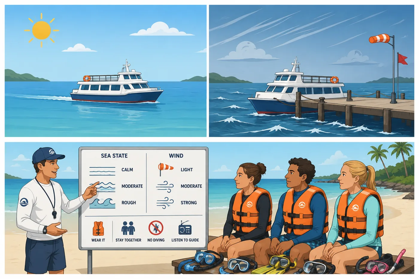
Before booking: Use the AMP Safety Check Map to review each listed operator’s public notification status, Maru-Yu designation under the Okinawa Prefectural Public Safety Commission program, and participation in AMP’s medical oxygen network. Inclusion on the map is not a guarantee of safety.
What should you confirm before committing?
Use this checklist for any island beyond your arrival base:
- current flight or ferry schedule and same-day operating status;
- minimum connection time and the last return service;
- accommodation confirmation and check-in constraints;
- local transport, fuel, cash/payment, food, and accessibility needs;
- the activity's maximum group size and any site reservation or entry rule;
- weather, marine warnings, and the operator's cancellation terms;
- access to routine medication and the response plan for urgent care;
- a buffer before an international or long-haul departure.
Okinawa Prefecture's tourism crisis plan warns that air- and sea-dependent islands can face interrupted movement and stranded visitors during disasters. [S2] A flexible itinerary is not wasted time; it is part of island travel.
How should season change your choice?
The Japan Meteorological Agency describes a May–June rainy season, higher rainfall during the main typhoon-affected period, and winter periods with more cloud, rain, and northerly winds. [S10] These patterns do not predict a particular day, but they should shape your backup plan.
In winter, consider culture, food, forest walks, and seasonal whale-watching options alongside marine activities. In warmer months, heat, sun, storms, and crowded sites still require limits. Never assume that an island transfer or water activity will operate because it appeared in the original itinerary.
What environmental and community rules apply?
Rules differ by island, municipality, park, beach, and operator. Check the local source before travel. In Keramashoto National Park, visitors are instructed not to damage or collect coral and wildlife, feed wild animals, introduce non-native species, or leave waste; they are also asked to respect places of worship. [S6]
Ask about the site's visitor capacity or group limit. If no universal number is published, do not invent one: follow the operator or managing authority's limit, avoid concentrated use, and accept an alternative site or time.
What safety information should guide island choice?
Match the route to the least experienced person in your group. For marine activities, check whether a covered business appears in the current Okinawa Prefectural Police operator information and ask for the day's safety and emergency plan. Notification or listing does not remove risk. [S11]
For an urgent ambulance or fire emergency in Japan, JNTO lists 119. For an emergency at sea, the official Okinawa guide directs travelers to the Japan Coast Guard at 118. [S12][S13]
FAQ
Are all 160 islands inhabited?
No. Okinawa Prefecture's overview counted 47 inhabited islands as of 2018. [S1]
Does “160 islands” mean I can visit all of them?
No. Some are uninhabited, some have limited or no visitor transport, and access can be affected by local rules and weather. Check each destination individually.
Which islands work for a first visit?
There is no universal answer. The main island reduces transfer complexity; Kerama, Miyako, Kume, or Yaeyama may fit when a specific reef, beach, forest, or island-culture purpose justifies the added transport.
Can I plan a remote-island ferry on the same day as my flight home?
That creates avoidable connection risk. The prefectural crisis plan documents the possibility of transport interruption, so add a buffer appropriate to the route and consequence of missing the flight. [S2]
Are capacity rules the same on every island?
No. Limits and reservation systems are site-specific. Check the managing authority and operator, and do not substitute a generic number.
What should I do if weather cancels the crossing?
Follow the carrier and local authority's instructions, contact your accommodation and onward provider, and use your documented cancellation and insurance terms. Do not attempt an informal sea transfer.
Sources
- [S1] Okinawa Prefecture, “Location and area of Okinawa,” including 160 islands and 47 inhabited islands (2018 basis). Retrieved 18 July 2026. https://www.pref.okinawa.jp/kyoiku/kodomo/1002657/1002658/index.html
- [S2] Okinawa Prefecture, Okinawa Tourism Crisis Management Plan. Retrieved 18 July 2026. https://www.pref.okinawa.jp/_res/projects/default_project/_page_/001/011/753/zentai-kankoukikikanri.pdf
- [S3] Okinawa Prefecture, “Overview of remote islands.” Updated 8 July 2025. Retrieved 18 July 2026. https://www.pref.okinawa.jp/shigoto/kankotokusan/1011671/1011816/1011834/1011854.html
- [S4] VISIT OKINAWA JAPAN, “Destinations.” Retrieved 18 July 2026. https://visitokinawajapan.com/destinations/
- [S5] Ministry of the Environment, “Features of Keramashoto National Park.” Retrieved 18 July 2026. https://www.env.go.jp/nature/nationalparks/list/kerama-shoto/feature/
- [S6] Ministry of the Environment, “Visitor manners in Keramashoto National Park.” Retrieved 18 July 2026. https://www.env.go.jp/nature/nationalparks/list/kerama-shoto/manner/
- [S7] VISIT OKINAWA JAPAN, “Kume Island.” Retrieved 18 July 2026. https://visitokinawajapan.com/destinations/kume-island/
- [S8] VISIT OKINAWA JAPAN, “Yaeyama Islands.” Retrieved 18 July 2026. https://visitokinawajapan.com/destinations/yaeyama-islands/
- [S9] VISIT OKINAWA JAPAN, “Flights Between Islands” (route information marked as of June 2025). Retrieved 18 July 2026. https://visitokinawajapan.com/plan-your-trip/getting-around-okinawa/flights-between-islands/
- [S10] Japan Meteorological Agency, “Normal weather in Okinawa” (1991–2020 climate normals). Retrieved 18 July 2026. https://www.data.jma.go.jp/cpd/j_climate/okinawa/main.html
- [S11] Okinawa Prefectural Police, “Safe leisure at seas and rivers.” Updated 12 June 2026. Retrieved 18 July 2026. https://www.police.pref.okinawa.jp/docs/2015022200039/
- [S12] Japan National Tourism Organization, “Japan Visitor Hotline.” Retrieved 18 July 2026. https://www.japan.travel/en/plan/hotline/
- [S13] VISIT OKINAWA JAPAN, “Beach Information.” Retrieved 18 July 2026. https://visitokinawajapan.com/discover/beach-information/
🇯🇵 日本語 · 🇬🇧 English